FullStack Web Developer & Consultant
Developing Interactive Data Storytelling solutions
Working with Start-ups, NGO's, Research institutes and Government Agencies
Projects
Lobby 99
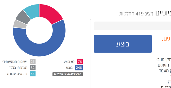
Lobby 99 is a crowdfunded social enterprise which has tasked itself with being the missing link between the public and government. This initiative – the first of its kind in the world – uses crowdfunding to fund a professional lobbyist at the Knesset, The Israeli parliament, who acts to advance the common goals of the general public, as expressed by the votes of the funding citizens.
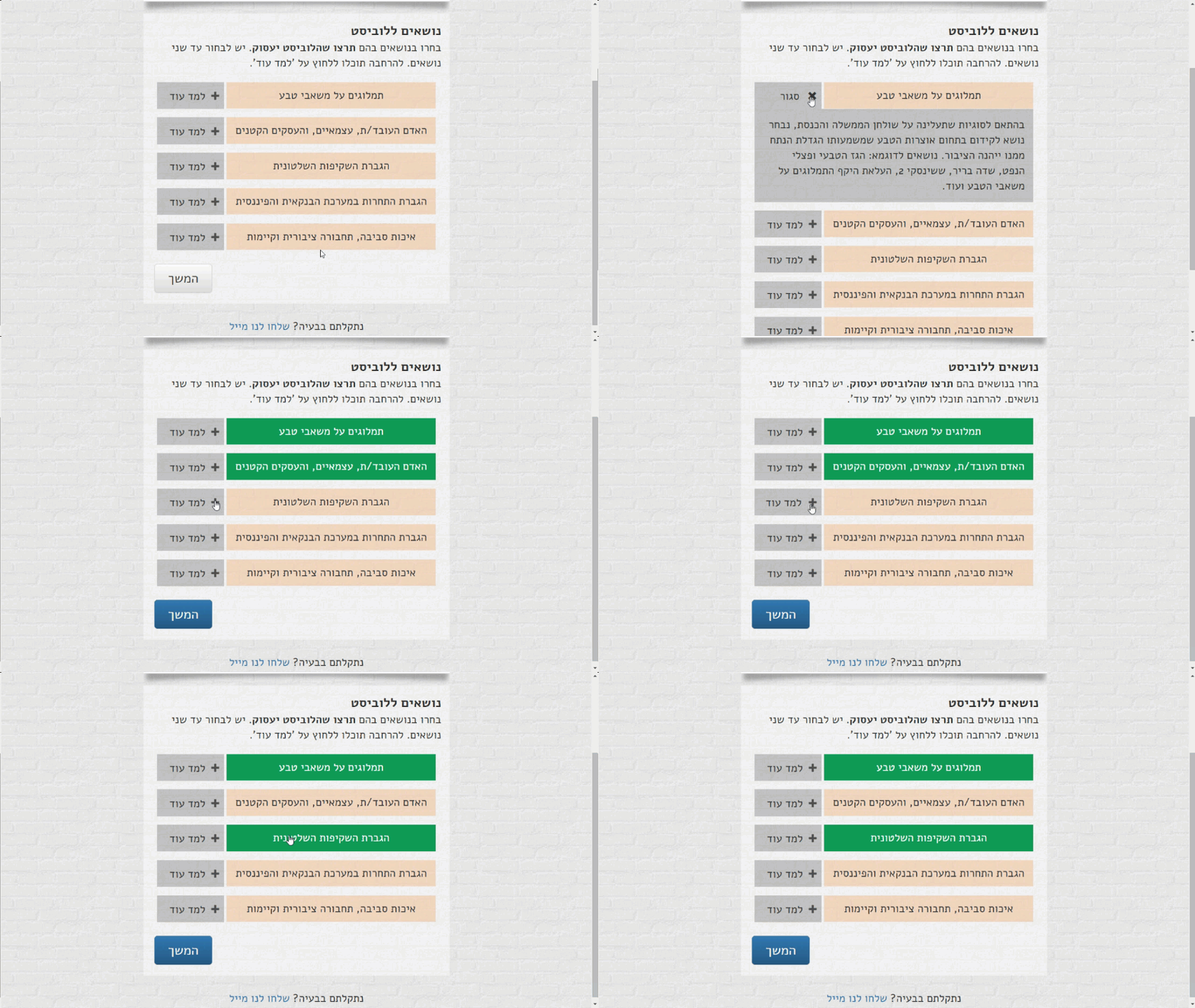
I serve as the head tech officer of this initiative, for which I developed an online tool for member participation, surveys, votes, and enrollment.


Globes Elections Match
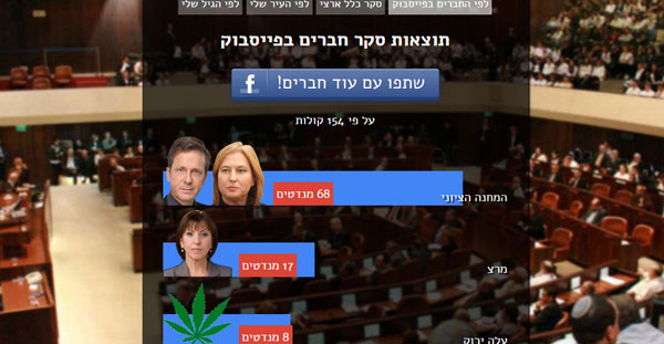
Tinder-like election game where players find their political 'match'
Wealth Distribution in Israel App
The Institute for Structural Reforms is a public benefit organization. The goal of the institute is to advance socio-economic research on social topics, such as urban renewal, affordable housing and war on poverty, which can be implemented through structural reforms.
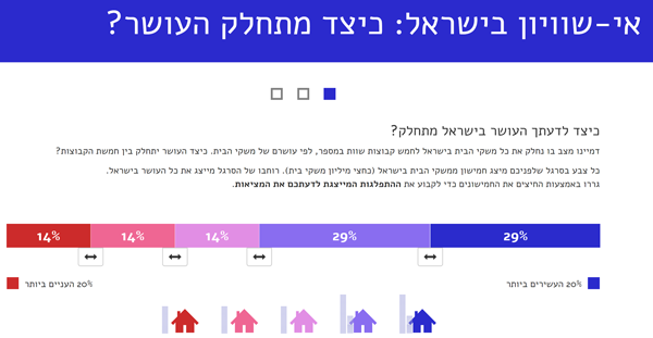
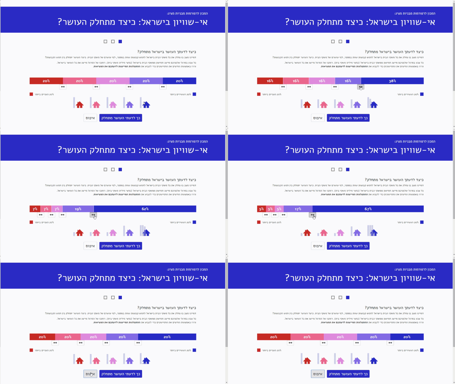
I developed an app for the Institute, which present key results from its Distribution of Wealth report, and allows citizens to position themselves compared to others amongst different indicators of wealth distribution.
Israeli National Budget Analyzer
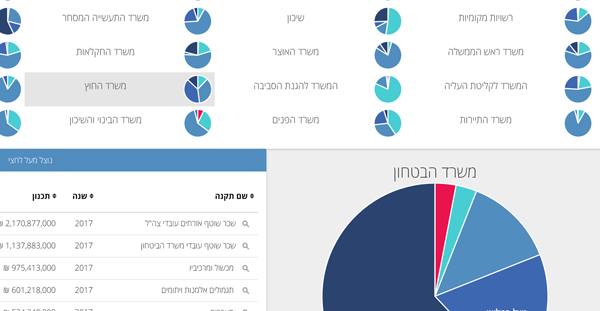
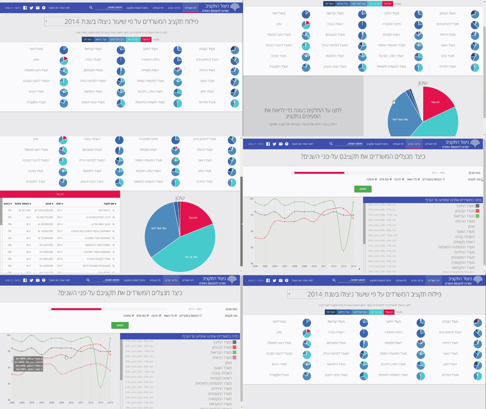
A tool I developed for the Citizens’ Empowerment Center in Israel, which presents the current state of appropriations and spending of the State Budget of the Israeli Government, in an approachable and friendly manner. The tool allows citizens, journalists and policy makers to review which State Budget appropriations have actually been used by the various state agencies, and also allows tracking and analysis of changes to appropriations over time. The data in this tool is extracted from raw databases available on the official Ministry of Finance website.


Can you run a news organization?
Play as the editor of one of the biggest newspapers in Israel. While swiping left or right to approve articles, you get to learn about the struggles of for-profit newspapers. Would you cover sensationalist topics for the views or risk not being inline with your advertisers?
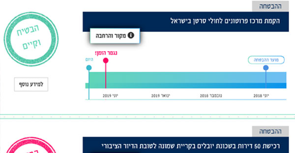

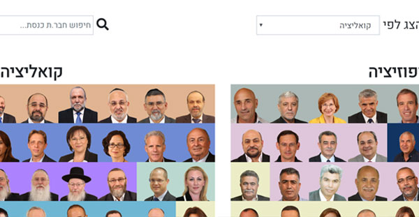
Tracking politicans promises
This project tracks & monitors politican promises. Promises made on social platforms and on the media, are displayed on a timeline.
Personal Initiatives
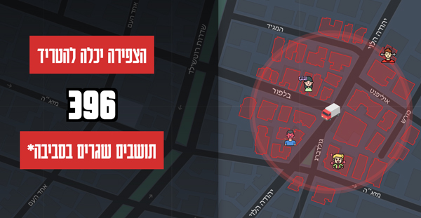

How many residents will hear my car horn?
An interactive simulator visualizing how many residents can hear a car horn in the city of Tel-Aviv. Choose a vehicle, place it anywhere in the city and click to honk your horn. Using the city GIS API service, the simulator queries how many residents (approximately) live in the radius of the noise.
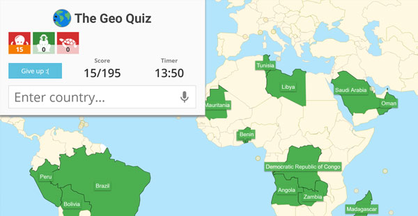

The Geo Quiz
Geography game that challenges you to name all countries. You can play online with friends, and use speech recognition to say out load the countries names instead of typing them. Started with a version of Israeli cities that went viral with over than 20K players.
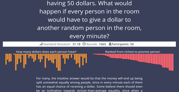
Inequality Simulator
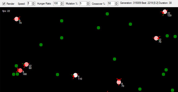
An Interactive simulation that demonstrates a counter-intuitive concept in statistics. The simulation shows how initial conditions that seem fair and equal may lead to an unequal distribution of income.
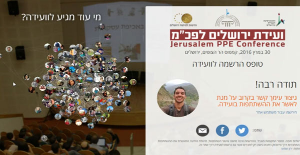
Jerusalem PPE conference
A website that allowed registration for the Jerusalem Philosophy, Politics and Economics (PPE) Conference. The enrolled users are being shown in an interactive way that presents their network of friends who also plan to participate in the conference, using their Facebook connections.
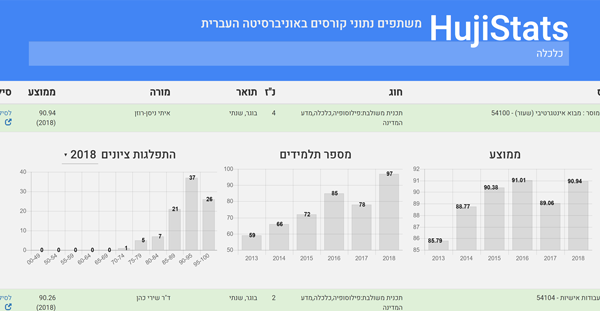

UniStats
A tool I developed was used by over 20,000 of my college peers during my studies at the Hebrew University of Jerusalem, who logged in to view various statistics about their courses. The statistics were brought together by the power of the crowd, and included: past years’ course grade averages, grade distribution, and standard deviation. These were smartly shared by each student when logging into their personal grade results page on the University website, and then sharing the website data with my tool. The data is automatically verified against publicly available University data such as course lists, and against other student submissions, and hence is highly reliable. The statistics of over 86% of BA courses at the University were shared on my tool.
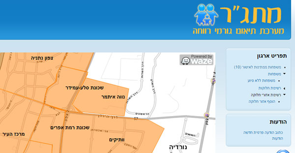
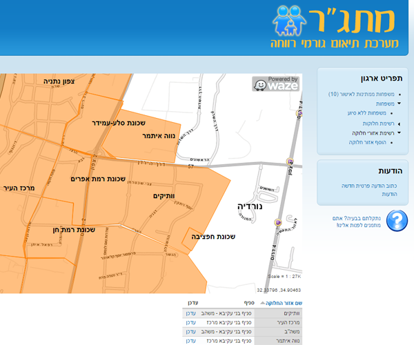
MATGAR: a system for social work coordination
I developed an information system for the Amiram charity, which gives out food packages approximately once a month to needy families around the city of Netanya. The system, in place since 2008, helps the charity in their coordination with various welfare agencies. The system allowed the charity to move away from using fax to online forms and databases. The system integrates with Google’s satnav service “Waze”, to allow the charity to indicate distribution areas across the city map. The food packages are then allocated by the system to the distribution area, so each driver can collect an automatically generated report of his or hers most efficient distribution route.
About me

